4. Recovery and Consolidation of the Sovereignty over Nanhai Zhudao after the War of Resistance against Japanese Aggression
In August 1945, Japan announced its acceptance of the Potsdam Proclamation and surrender unconditionally. In the same year, the Chinese army in Yulin Port, Hainan received the surrendering Japanese troops stationed in Xisha Qundao and Nansha Qundao. In November and December 1946, senior officials were dispatched by the Chinese government to Xisha Qundao and Nansha Qundao aboard on four Chinese warships, including Yongxing, Zhongjian, Taiping and Zhongye, to hold the reception ceremony, erect sovereign monuments for commemoration and station troops. Subsequently, four Islands in Xisha Qundao and Nansha Qundao were named by the Chinese government after the names of the four warships.
In March 1947, the Chinese government established the Management Office for Nansha Qundao in Taiping Dao, and placed it in the jurisdiction of Guangdong Province. In addition, China also set up a meteorological station and radio station in Taiping Dao, and started broadcasting weather information in June.
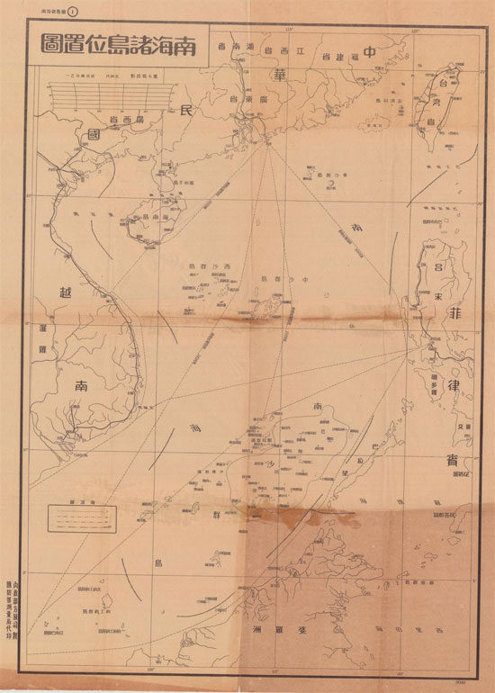
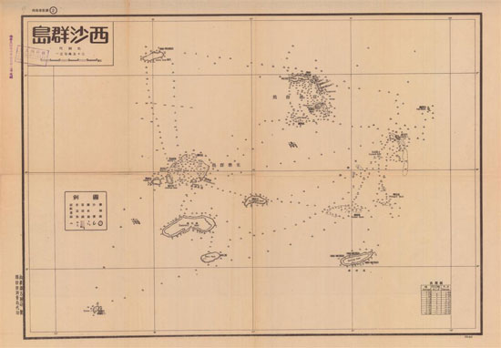
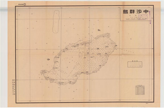
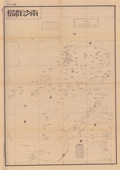
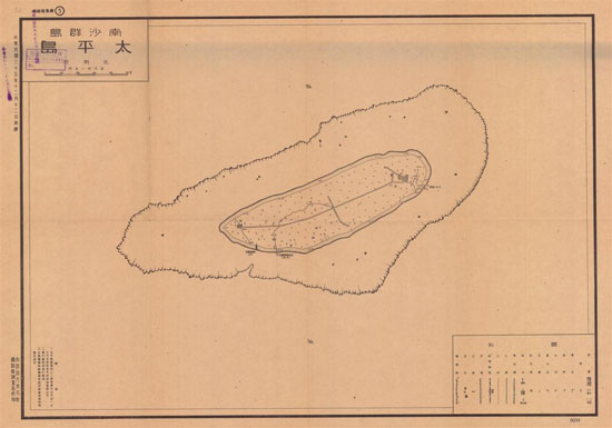
Based on geographical mapping of Nanhai Zhudao, the Chinese government organized in 1947 the preparation of Nan Hai Zhu Dao Di Li Zhi Lüe (A Brief Account of the Geography of Nanhai Zhudao), approved The List of Old and New Names for Dao in Nanhai Zhudao, drew the Location Map of Islands in Nanhai Zhudao and added the dash lines, the map of Nansha Qundao and the map of Taiping Dao. In February 1948, the Chinese government promulgated the Zhong Hua Min Guo Xing Zheng Qu Yu Tu (Map of the Administrative Districts of the Republic of China), including the attached map Nan Hai Zhu Dao Wei Zhi Tu (Location Map of Nanhai Zhudao).
