As one of the three marginal seas in Asia, the South China Sea belongs to the western Pacific Ocean, adjoining in the north Guangdong, Hainan, Guangxi and Taiwan and other Chinese provinces. It borders on the East China Sea along the line between Nan'ao Dao of Guangdong Province and the southern tip of Taiwan, reaching the Philippines in the east, Kalimantan Island in the south and Vietnam and the Malay Peninsula in the west. Covering an area of about 3.5 million square kilometers, it is the third largest sea in the world, following the Coral Sea in the South Pacific and the Arabian Sea of the Indian Ocean. With an average depth of 1,212 meters and the deepest point of 5,377 meters, the South China Sea is virtually surrounded by land, peninsulas and islands, linked in the northeast to the East China Sea and the Pacific Ocean through the Taiwan Strait, in the south to the Java Sea, the Andaman Sea and the Indian Ocean through the Malacca Strait and in the east to the Sulu Sea through the Bashi Strait.
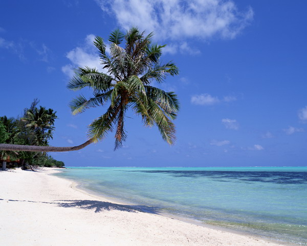
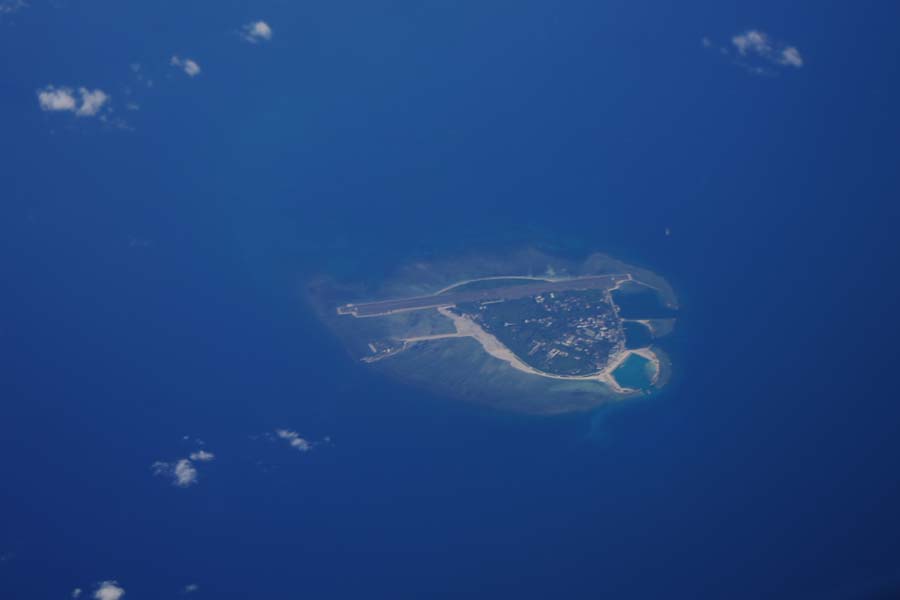
To the west of the South China Sea, there are two large bays, that is, the Gulf of Thailand and Beibu Bay. The main rivers flowing into the South China Sea include the Zhu River and the Han River, as well as the Red River, Mekong River and Chao Phraya River of the Indochina Peninsula, all with low sediment concentration. Therefore, the deep and wide South China Sea always seems deep green or dark blue. Located in the low latitude region, the South China Sea has the warmest climate of all tropical deep seas of China, with a high surface water temperature (25℃-28℃), small annual temperature variation (3℃-4℃), year-round high temperature and humidity and long summers without winter. It has a maximal salinity of 35‰ and tidal difference below 2 meters, nurturing many picturesque coral islands on seabed terraces with its ideal natural geographical location for coral reproduction. Together with some volcanic islands, those coral islands have formed the four major archipelagos in the South China Sea, including Dongsha Qundao(the Dongsha Islands), Xisha Qundao(the Xisha Islands), Zhongsha Qundao(the Zhongsha Islands) and Nansha Qundao(the Nansha Islands), which are collectively known as Nanhai Zhudao(the Nanhai Islands).
The South China Sea is rich in fishery resources, oil and gas resources, neo-type resources and navigation channel resources. Its fishery resources include tuna fish, shark, barracuda, large yellow croakers, small yellow croakers, hair tail, mackerels, red fish and so on, as well as turtles, sea cucumbers, oysters, horseshoe snails, big lobsters, cuttlefish, squid and other rare tropical aquatic products. Its rich oil and natural gas reserves are distributed across more than a dozen basins of oil and gas deposits with good prospects and potentials for development. In addition, its unique climate and hydrological conditions have also created extremely rich new energy resources, including solar energy, wind energy, marine current energy, tidal energy and thermal energy. Seen from the perspective of navigation channels, each year more than 40,000 ships pass the South China Sea. More than 90% of oil imports to Japan, Republic of Korea and China, including Taiwan Province are shipped via the navigation channels in the South China Sea. Liquefied natural gas (LNG) transported through the South China Sea accounts for two-thirds of the world's total. Of the nearly 40 Chinese routes to foreign countries, more than half have to go through the South China Sea.


