In 1908, Caspar W. Hodgson asked A. Briesemeister to prepare and carve a larger map of the Philippine Islands in accordance with the Treaty of Paris, which was published in New York. In this new edition of the map of the Philippine Islands, a caption was added by Caspar Hodgson, expressing his gratitude to the US Coastal and Geodetic Survey, the Army Department of Military Intelligence, the Naval Department of Water Survey Office, as well as the Department of Education, the Public Works Bureau, the Post Office, the Science Board and the Ethnological Investigation and Police Department of the Philippines. This shows that the map was prepared and published after official survey and collation by the United States and the Philippines, and that the Philippine territory and national boundaries were officially recognized. In the left section of the map, there is a horizontal line composed of dots and dashes along the 118° eastern longitude line. Annotated as "PARIS TREATY LINE", it concurs with the line established in Treaty of Paris, which is the western boundary of the Philippines according to the treaty. Scarborough Shoal (now Huangyan Dao) lies beyond the line, and this shows that it does not belong to the Philippines.
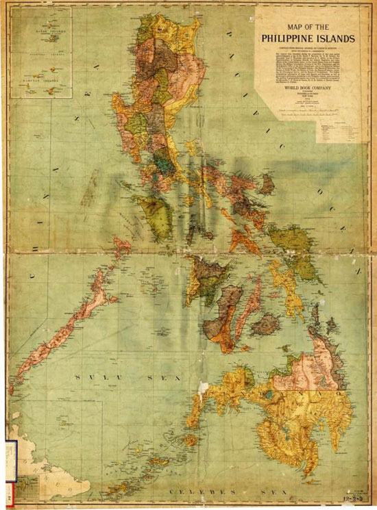
Map of the Philippine Islands

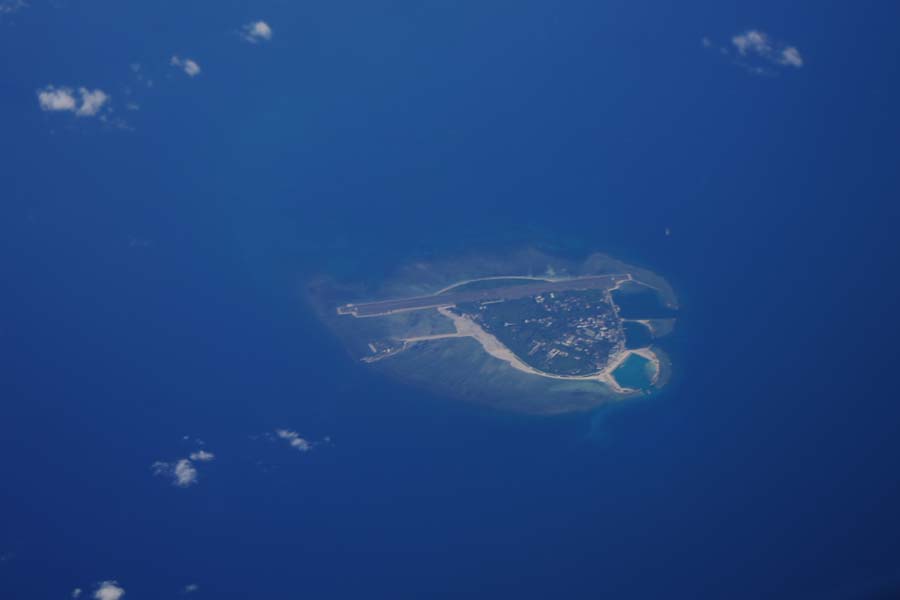
The Vicinity of Huangyan Dao (Close-up View)
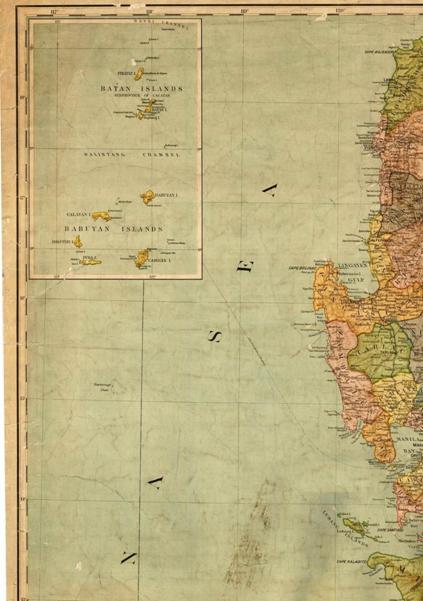
Huangyan Dao Lies beyond the 118° Eastern Longitude Line Established in the Treaty of Paris (Close-up View)


