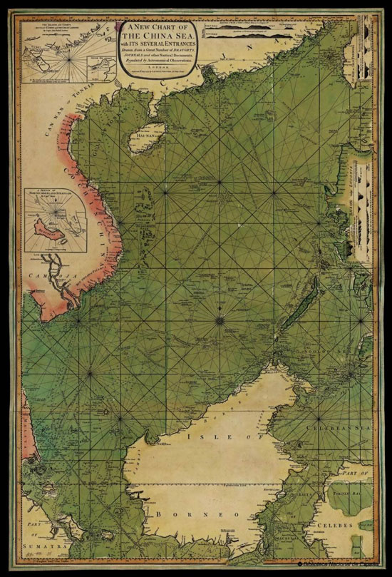
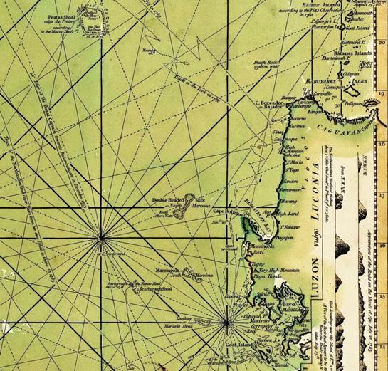
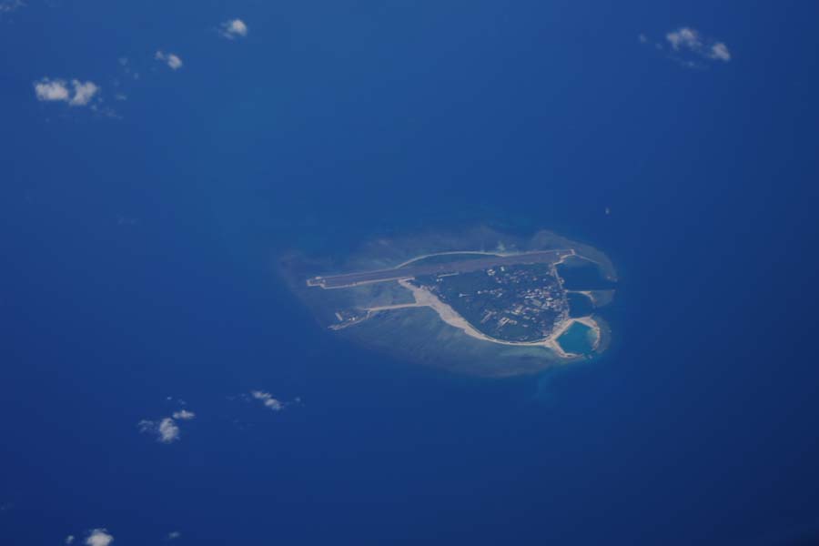
In A New Chart of the China Sea with Its Several Entrances, a map published in Britain, a crescent-shaped atoll (ie, Huangyan Dao) was marked to the west of the three atolls beyond the west coast of Luzon, with the annotations "Scarborough Shoal" and "the Negroes Head." The point where Scarborough capsized was marked to the northwest of the shoal, with the annotation "Scarborough Sept. 12th, 1748 (the date when Scarborough was sunken)." Huangyan Dao and the Philippine Islands were separated by three larger reefs or shoals, including "Double Headed Shoal or North Maroona Rocks above Water", "Marsingola or South Maroona" and Lambay or Mariveles Shoal (transcribed as Lumbay in Tagalog the native tongue) from north to south. Among them, "Marsingola or South Maroona" refers to the Panacot Reef as described above, while Scarbro Shoal (Huangyan Dao) has nothing to do with the three offshore shoals. It can be proved that Panacot Island could by no means be Huangyan Dao.

A New Chart of the China Sea with Its Several Entrances

A New Chart of the China Sea with Its Several Entrances (Close-up View)


