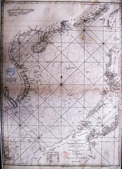
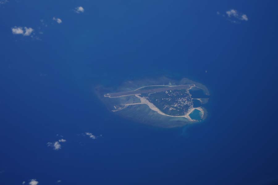
Huangyan Dao was correctly marked on the map drawn by Europeans because Scarborough, a merchant ship of the British East India Company, struck a reef in 1748 at Huangyan Dao and sunk. In order to commemorate the accident, Huangyan Dao Was named Scarborough Shoal or Scarboro (meaning sandbar or shoal exposed at low tide). Chart of the China Sea was compiled by the French on the basis of oceanic information provided by ships navigating in the South China Sea from 1744 to 1765. A lot of routes were marked in the chart, and dots and cross symbols were used to draw a sandbar, named "Scarboro" (ie, Huangyan Dao). Three shoals were marked to the western coast of Luzon. Without names and located some distance off, they apparently had nothing to do with "Scarboro." This also proves that the initial recognition and naming of the Huangyan Dao by Europeans had nothing to do with the so-called "Panacot" Shoal and that Huangyan Dao was not first discovered by the indigenous people of the Philippines.

Chart of the China Sea


