In Second Part of Asia: Being China, Part of India and Tartary: the Islands of Sonda, Molucka, Philippin and Japan, the map prepared by British cartographer Solomon Bolton, the three atolls near the western coast of Luzon Island were marked. The contours of the Philippine Islands were roughly right, but Huangyan Dao was not marked.
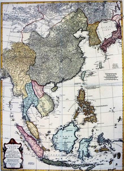
Second Part of Asia: Being China, Part of India and Tartary: the Islands of Sonda, Molucka, Philippin and Japan


