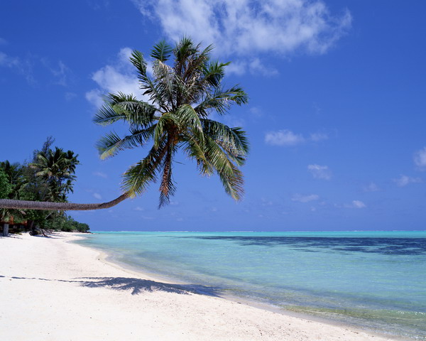
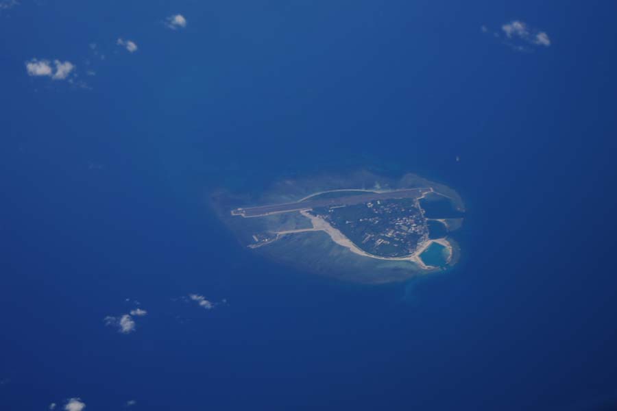
Prepared by the French Guillaume Dheulland (1770-1770) in the 18th century, the map left a blank at the location of Nansha Qundao, indicating that France was ignorant of those islands back then. The fact that the nine islets occupied by France in 1933 are marked in brown also has proved that France's claims to them are untenable.
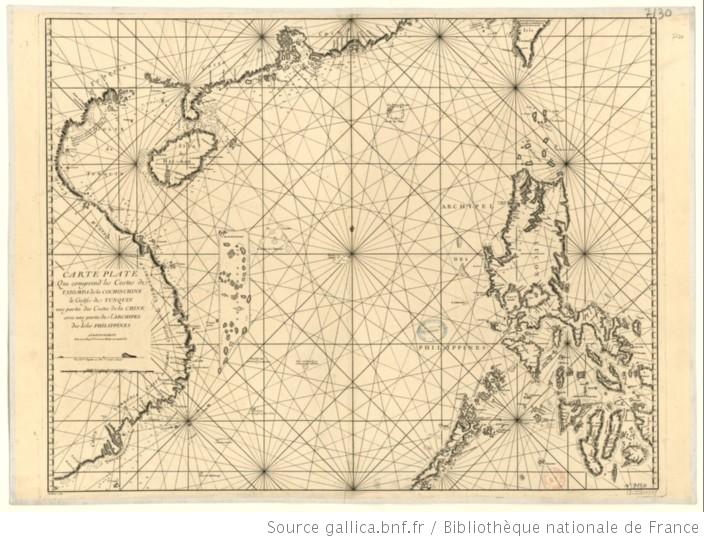
Coastal Map of Tsiompa, Cochin China, Tokyo Bay, China and Philippine Islands
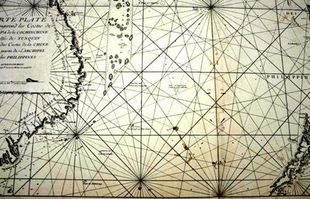
Close-up View of the Nine Islets Artificially Marked


