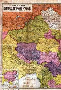
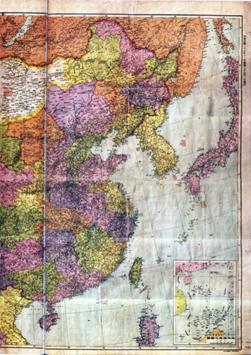
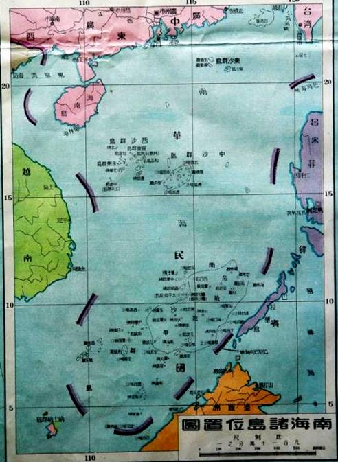
In Location Map for the South China Sea Islands attached to the Administrative Division Map of the Republic of China released in February 1948, the Department of Domestic Territorial Affairs, Ministry of the Interior adopted new names for all the islands, and drew a broken curve composed of 11 lines in the South China Sea. The map was made a prototype for publishing units in preparing Chinese maps.


Administrative Division Map of the Republic of China

Attachment to Administrative Division Map of the Republic of China


