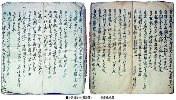
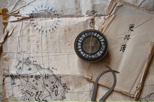
After the middle of the Ming Dynasty, China had specific names for the islands, reefs, shoals and cays of Nanhai Zhudao. Geng Lu Bu the book written between the Ming and Qing Dynasties was a navigation guide used by Chinese fishermen for the routes between the coast of Chinese Mainland and the Nanhai Zhudao. Handed down in a variety of manuscripts until this day, it furnishes a record of the life, productive and developmental activities of the Chinese people in Nanhai Zhudao, and the names given by Chinese fishermen to them. More than 70 islands and reefs in Nansha Qundao have been named, in accordance with the bearings on the Chinese compass, for example, Chouwei (Zhubi Jiao) and Dongtou Yixin (Pengbo Ansha); or in local languages, for example, Huoai Jiao; or after local aquatic products in the surrounding waters, for example Chigua Xian (Chigua Jiao, "chigua" means "red sea cucumber") and Mogua Xian (Nanping Jiao, "mogua" means "black sea cucumber"); or after their shapes, for example, Daochuan (Xian'e Jiao, "daochuan" means "island string") and Shuangdan (Xinyi Jiao, "shuangdan" means "shoulder poles"); or after physical objects, for example, Guogai Zhi (Anbo Shazhou, "guogai" means "cauldron cover") and Chenggou Zhi (Huayang Jiao, "chenggou" means "steelyard hook"); or after waterways, for example, Liumen (Liumen Jiao, "liumen" literally means "six doorways") and Wufeng (Wufang Jiao, "Wufeng" literally means "five winds").


